By its nature, contemporary slavery is a hidden crime. It is outlawed internationally, however the practices of slavery have been allowed to continue without interference. In order to eradicate slavery once and for all new methods need to be used in order to refine estimates of slavery globally and pinpoint the locations of these practices.
The brick manufacturing industry within South Asia is known to employ slavery practices, particularly bonded labour (aka debt bondage), but the real scale of the industry was not known. In order for slavery to be eradicated the volume of data required needs to be specific. One method of establishing the scale is through remote sensing techniques - particularly satellite imagery. Vast volumes of imagery are collected at a global scale every day and more of these data are becoming easily accessible.
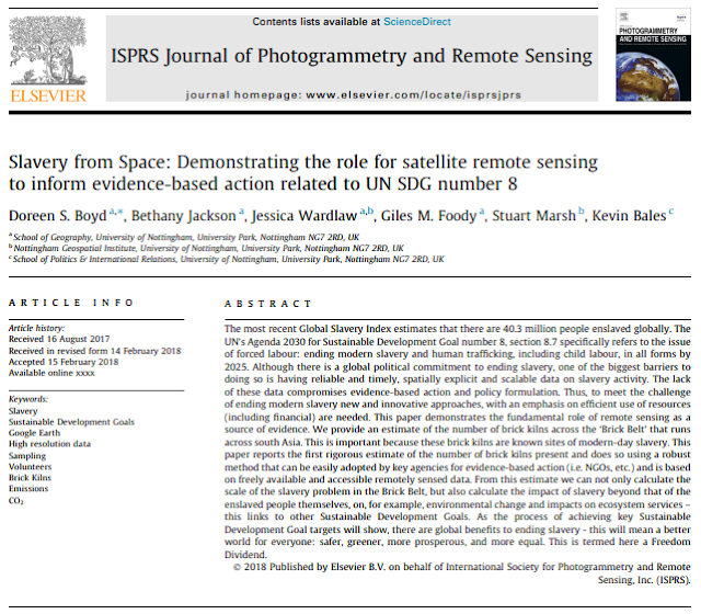
A new study by Boyd et al. (2018) demonstrates the first statistically robust estimate for the number of brick kilns that are found in the South Asian 'Brick Belt' - an area that covers parts of Pakistan and India, as well as Bangladesh and Nepal. This is the first study to utilise open source Google Earth imagery and random sampling to establish the number of kilns in the region, and corroborate the accuracy of the estimate using crowd-sourced data.
The full paper is available at: https://www.sciencedirect.com/science/article/pii/S0924271618300479
This estimate is the key to unlocking the development of satellite imagery as a data source that can enhance the use of the method and data for other industries as well as beginning to explore the finer details of the brick industry by looking at the locations of these kilns and eventually pinpointing the exact locations of slavery from space.
If you would also like to learn more about the use of satellite imagery for tackling modern slavery there is also a great podcast on the topic.
The developments within the field of remote sensing go hand in hand with the developments in the fourth abolition movement and combining the methodology seen in both fields provides a more holistic approach to tackling contemporary slavery and more chance of achieving the UN 2030 Agenda to end modern slavery.
Satellite imagery in enabling us to see the invisible hidden crime of slavery as you cannot hide from space.
References
Boyd, D.S., Jackson, B, Wardlaw, J., Foody, G.M., Marsh, S. and Bales, K. (2018). Slavery from Space: Demonstrating the role for satellite remote sensing to inform evidence-based action related to UN SDG number 8. ISPRS Journal of Photogrammetry and Remote Sensing.
The Rights Track (Podcast) - all episodes available at: http://rightstrack.org/

Comments
Post a Comment